


 https://jordan-eng.com/wp-content/uploads/2018/03/parking.jpg
460
598
admin-jordan-eng
/wp-content/uploads/2015/07/2003_JEI-LOGO_black-300x111.png
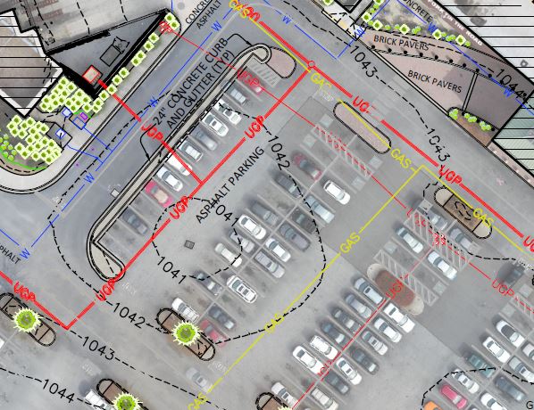
admin-jordan-eng2018-03-23 13:40:452024-04-03 16:09:49Aerial mapping provides great site detail
https://jordan-eng.com/wp-content/uploads/2018/03/parking.jpg
460
598
admin-jordan-eng
/wp-content/uploads/2015/07/2003_JEI-LOGO_black-300x111.png
admin-jordan-eng2018-03-23 13:40:452024-04-03 16:09:49Aerial mapping provides great site detailLatest Projects
https://jordan-eng.com/wp-content/uploads/2018/03/parking.jpg
460
598
admin-jordan-eng
/wp-content/uploads/2015/07/2003_JEI-LOGO_black-300x111.png
admin-jordan-eng2018-03-23 13:40:452024-04-03 16:09:49Aerial mapping provides great site detail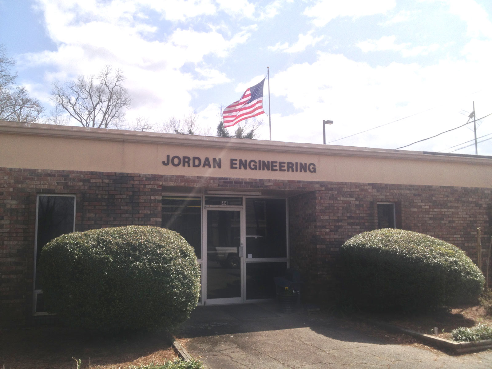 https://jordan-eng.com/wp-content/uploads/2015/06/JEI-Storefront.jpg
1200
1600
admin-jordan-eng
/wp-content/uploads/2015/07/2003_JEI-LOGO_black-300x111.png
admin-jordan-eng2015-08-24 18:53:172024-04-25 13:38:07Jordan Engineering
https://jordan-eng.com/wp-content/uploads/2015/06/JEI-Storefront.jpg
1200
1600
admin-jordan-eng
/wp-content/uploads/2015/07/2003_JEI-LOGO_black-300x111.png
admin-jordan-eng2015-08-24 18:53:172024-04-25 13:38:07Jordan Engineering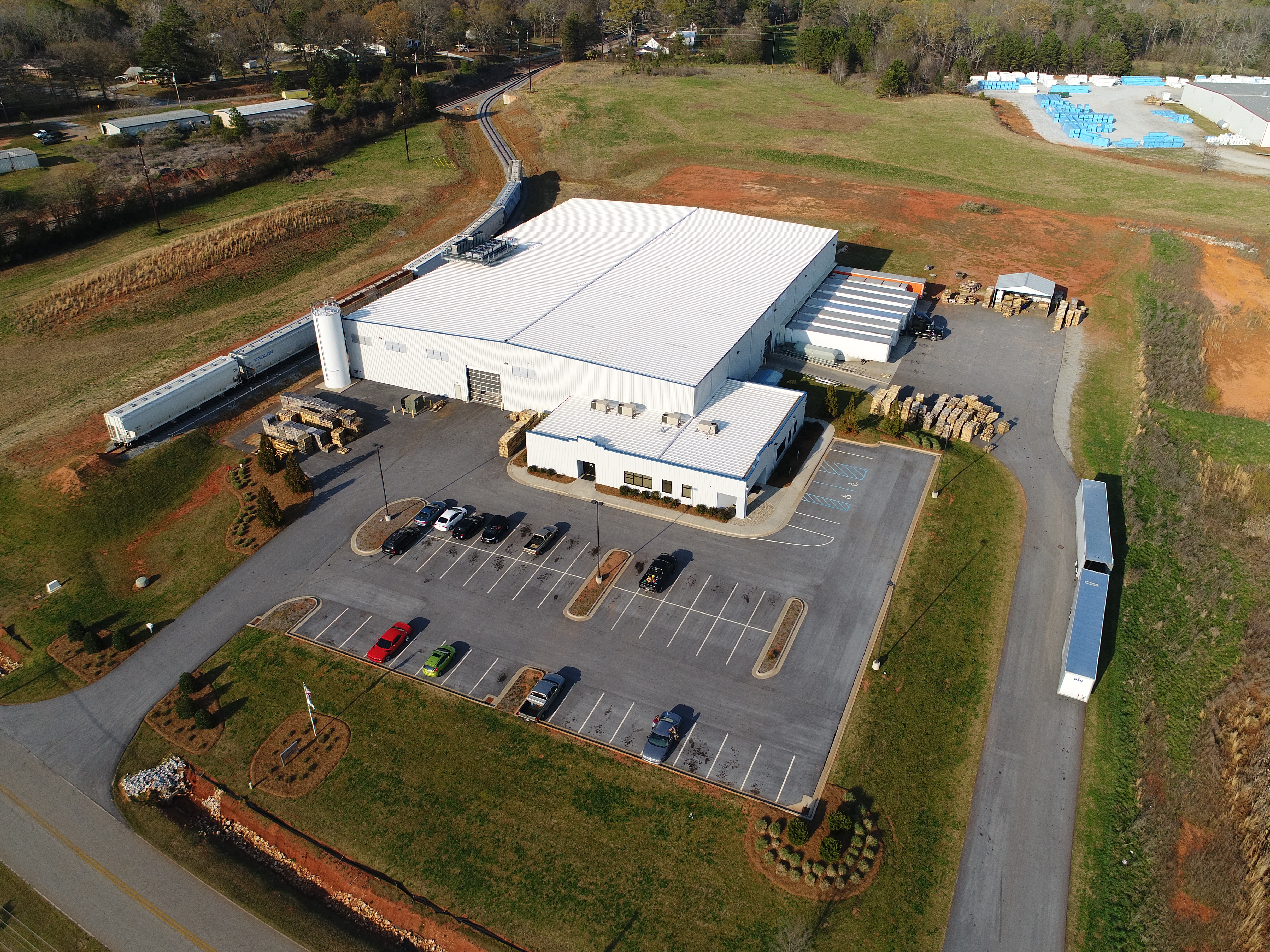 https://jordan-eng.com/wp-content/uploads/2015/08/Norton-Packaging-aerial.jpg
3648
4864
admin-jordan-eng
/wp-content/uploads/2015/07/2003_JEI-LOGO_black-300x111.png
admin-jordan-eng2015-08-23 18:59:462017-09-22 14:32:12Site Design
https://jordan-eng.com/wp-content/uploads/2015/08/Norton-Packaging-aerial.jpg
3648
4864
admin-jordan-eng
/wp-content/uploads/2015/07/2003_JEI-LOGO_black-300x111.png
admin-jordan-eng2015-08-23 18:59:462017-09-22 14:32:12Site Design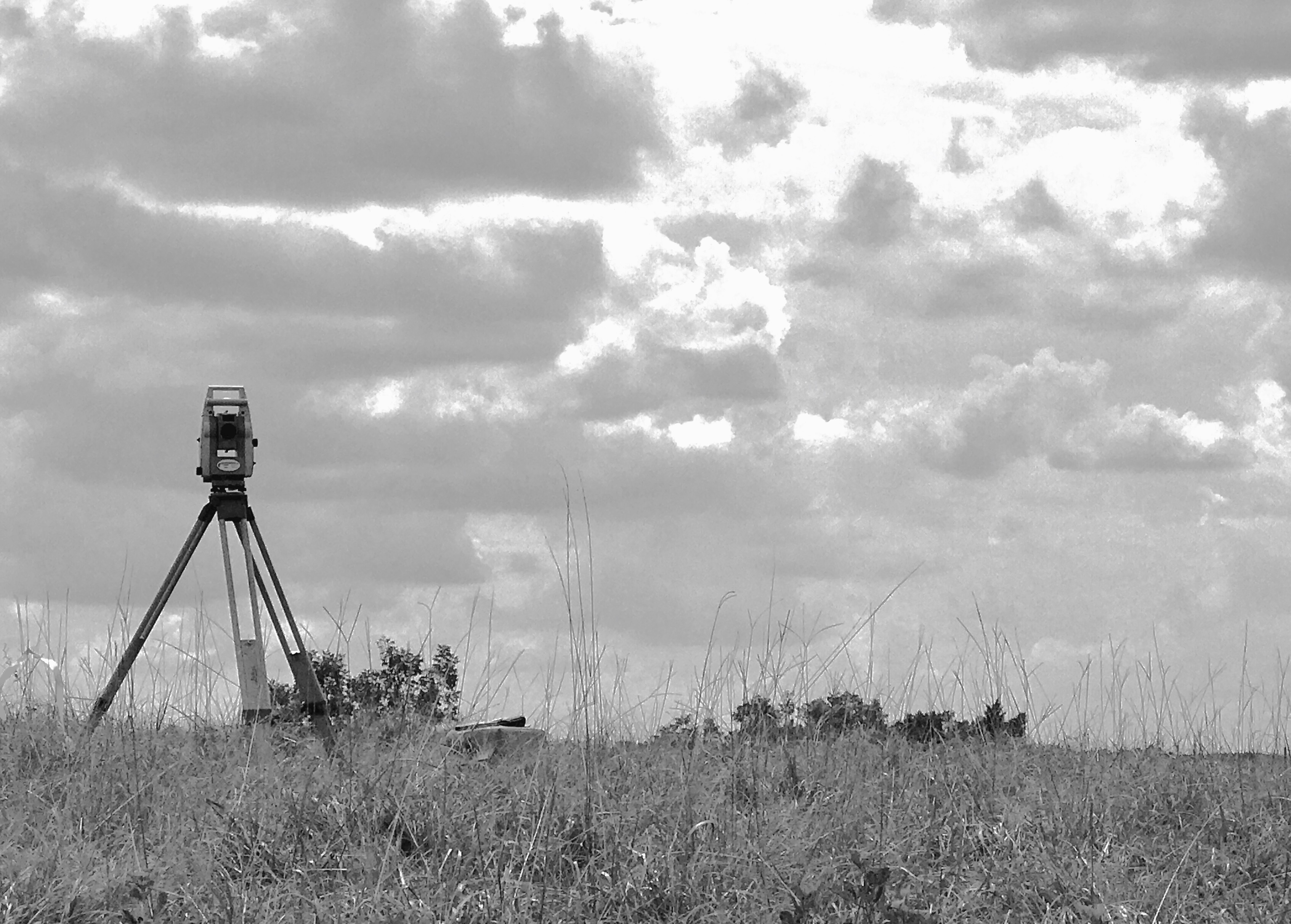 https://jordan-eng.com/wp-content/uploads/2017/09/Leica-black-and-white.jpg
2424
3387
admin-jordan-eng
/wp-content/uploads/2015/07/2003_JEI-LOGO_black-300x111.png
admin-jordan-eng2015-08-22 18:58:372017-09-22 14:01:11Boundary Surveying
https://jordan-eng.com/wp-content/uploads/2017/09/Leica-black-and-white.jpg
2424
3387
admin-jordan-eng
/wp-content/uploads/2015/07/2003_JEI-LOGO_black-300x111.png
admin-jordan-eng2015-08-22 18:58:372017-09-22 14:01:11Boundary SurveyingLatest News
 https://jordan-eng.com/wp-content/uploads/2017/10/Work-Party-2017.jpg
1512
2016
admin-jordan-eng
/wp-content/uploads/2015/07/2003_JEI-LOGO_black-300x111.png
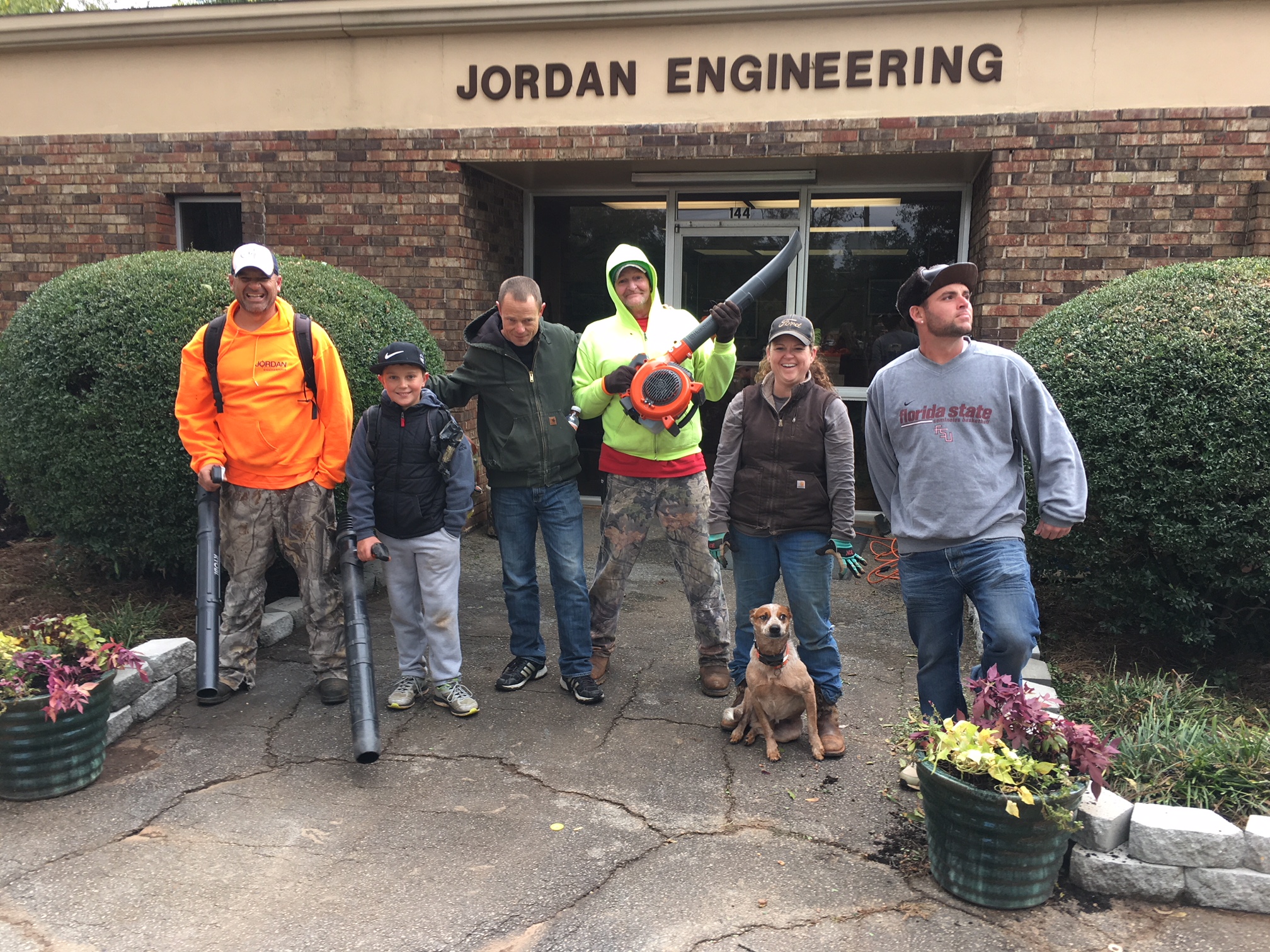
admin-jordan-eng2017-10-30 16:43:312024-04-03 16:07:14Fall Work Party
https://jordan-eng.com/wp-content/uploads/2017/10/Work-Party-2017.jpg
1512
2016
admin-jordan-eng
/wp-content/uploads/2015/07/2003_JEI-LOGO_black-300x111.png
admin-jordan-eng2017-10-30 16:43:312024-04-03 16:07:14Fall Work Party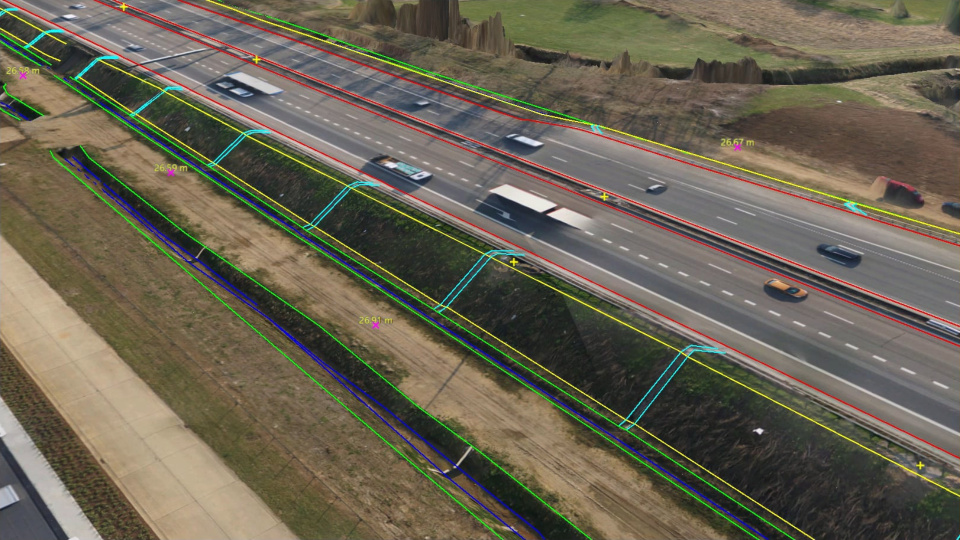 https://jordan-eng.com/wp-content/uploads/2017/09/virtual-surveyor.jpg
540
960
admin-jordan-eng
/wp-content/uploads/2015/07/2003_JEI-LOGO_black-300x111.png
admin-jordan-eng2017-09-22 14:09:322017-09-22 14:09:32Virtual Surveyor
https://jordan-eng.com/wp-content/uploads/2017/09/virtual-surveyor.jpg
540
960
admin-jordan-eng
/wp-content/uploads/2015/07/2003_JEI-LOGO_black-300x111.png
admin-jordan-eng2017-09-22 14:09:322017-09-22 14:09:32Virtual Surveyor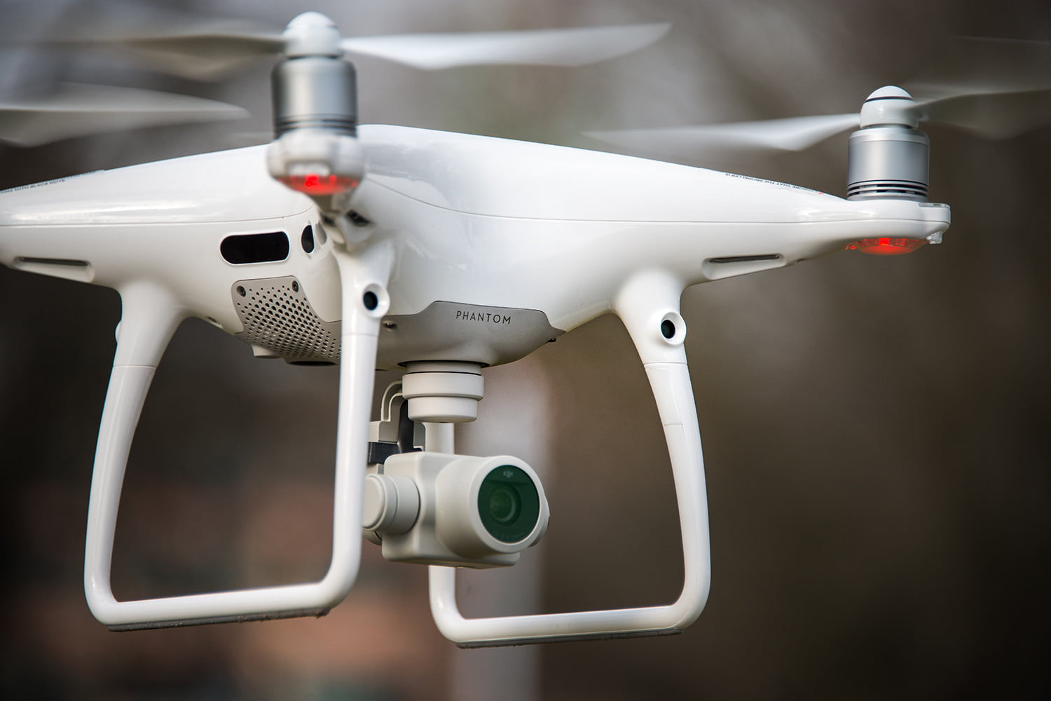 https://jordan-eng.com/wp-content/uploads/2015/06/Phantom-4-pro.jpg
1000
1500
admin-jordan-eng
/wp-content/uploads/2015/07/2003_JEI-LOGO_black-300x111.png
admin-jordan-eng2015-06-20 10:25:352024-04-03 16:10:27Drone Imagery, Pix4D, and Virtual Surveyor
https://jordan-eng.com/wp-content/uploads/2015/06/Phantom-4-pro.jpg
1000
1500
admin-jordan-eng
/wp-content/uploads/2015/07/2003_JEI-LOGO_black-300x111.png
admin-jordan-eng2015-06-20 10:25:352024-04-03 16:10:27Drone Imagery, Pix4D, and Virtual Surveyor