Drone Imagery, Pix4D, and Virtual Surveyor
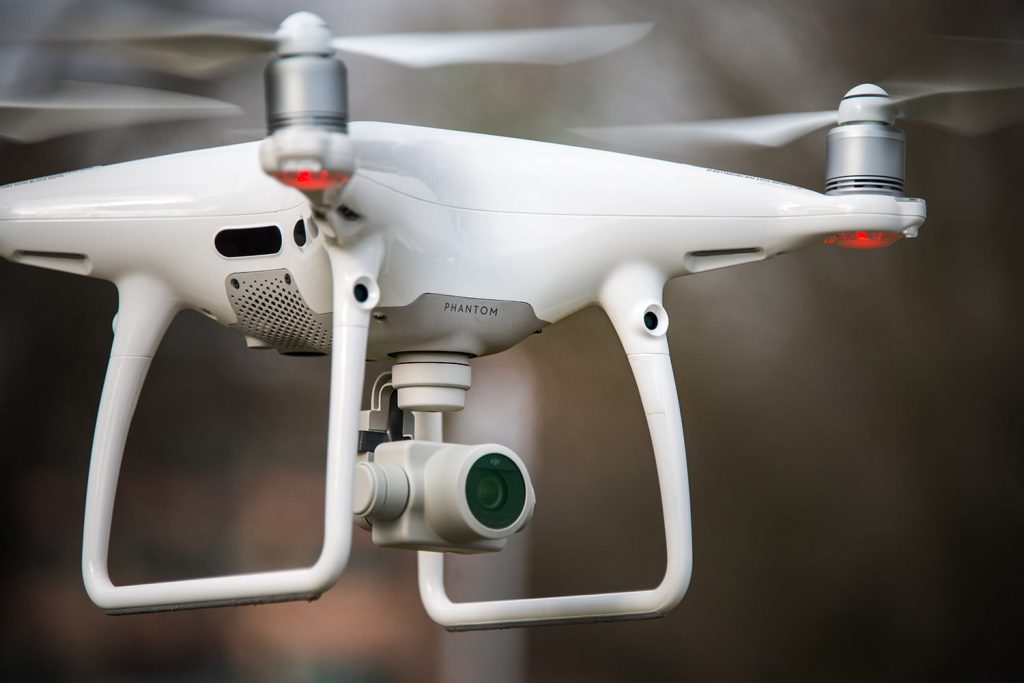
In 2017 we have begun extensive use of aerial imagery collected using drones and process using Pix4D software and Virtual Surveyor software. This new data capture and analysis technology allows us to collect more data in more places safer, quicker, and more accurately that we have ever done.
Comments are closed.