For 28 years, Jordan Engineering has provided surveying services to middle Georgia. Our service range is generally within 90 minutes of Monticello, which means we cover most of the area Atlanta to Macon and Griffin to Greensboro.
- Boundary surveying – using deed and plat research, field evidence, and legal principals to re-establish existing property boundary lines, to establish new property division lines, and to create boundary survey plats for use as a legal description when transferring real estate.
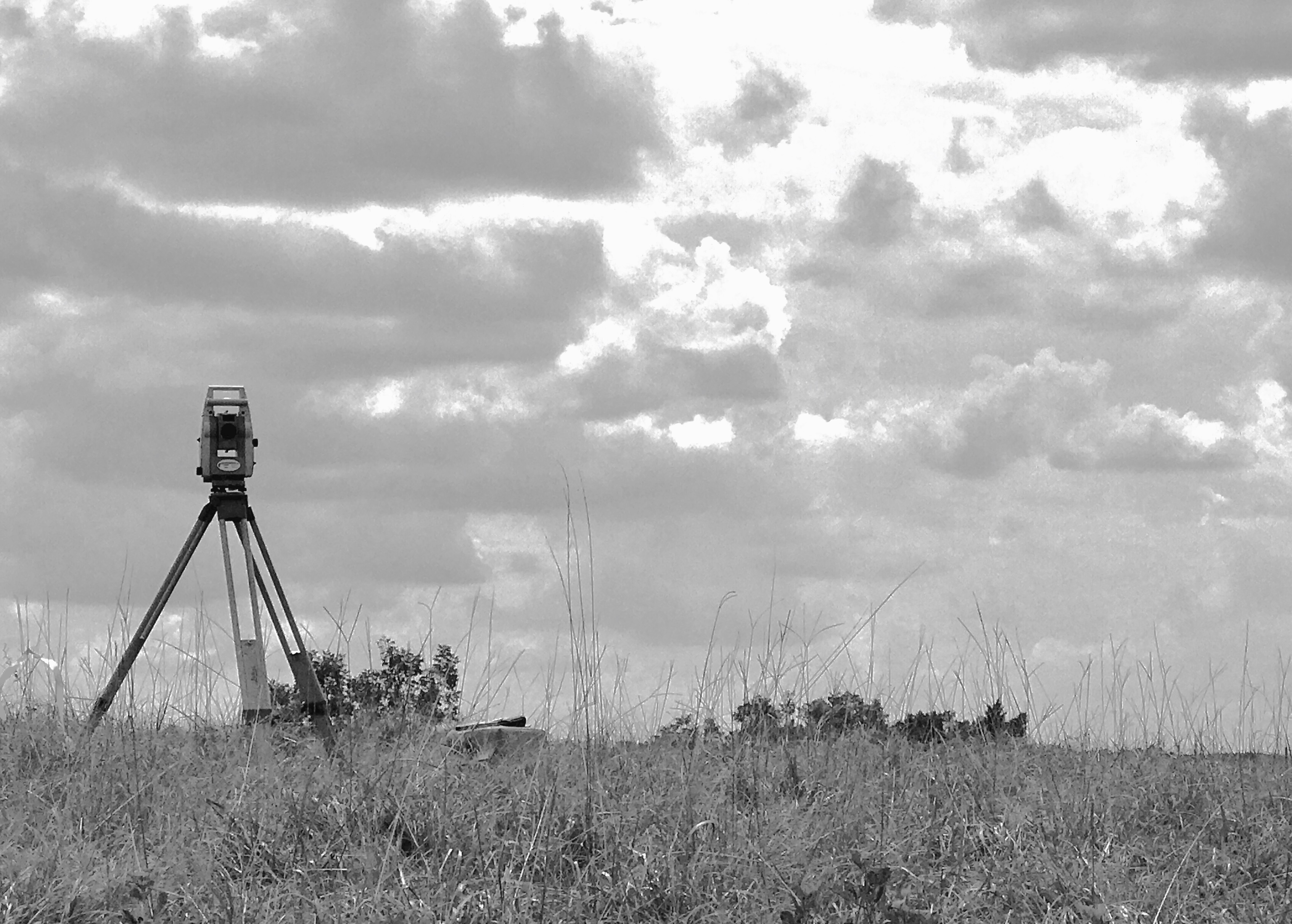
- Topographic surveying and base mapping – data collection and existing conditions map preparation for use in design by engineers or other professionals. ‘Topo’ surveying usually includes locating utilities, above-ground features, utilities, or trees along with boundary lines and ground surface elevations. In many cases, aerial imagery captured by a drone is used in this type of work.
- Construction staking – placement of stakes or markers at a construction sites based on design drawings to aid contractors and builders in clearing, grading, erosion control, and infrastructure construction such as roads, storm drains, and ponds.
- Asbuilt surveying – record horizontal and vertical locations of new infrastructure at time of completion to both verify the accuracy and completeness of the construction and to document locations of underground utilities for future reference. UAV, or drone imagery is often helpful in this type of site documentation.
- Aerial Mapping – we employ drone (UAV) imagery to capture a lot of site detail in a short time and to gather data in areas that are difficult to reach or dangerous to survey, such as busy intersections.
- Flood certification – collection of elevation data related to a water body and a structure, usually a residence or business, to determine the FEMA flood status for insurance purposes.